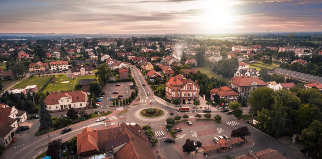
Niepołomice is a town in the Wieliczka County of the Lesser Poland Voivodeship, located in the immediate vicinity of Kraków and serving as the seat of an urban-rural municipality. The town is divided into housing estates, while the surrounding part of the municipality consists of villages—a total of 19 units spread over a large area around the center. An investment zone operates within the municipality.
The local government carries out infrastructure investments co-financed by EU and government funds, which require planning the transport network and justifying the chosen solutions. Planning public transport, organizing traffic in the city center, and negotiating transport services with neighboring municipalities require knowledge of how residents actually move.
For years, local governments have faced the same limitation: a lack of data on the actual directions and volume of resident movement. Available measurement methods, based on cameras and sensors placed on entry roads, show traffic volume at selected points and during a single period. They do not answer the question of where that traffic originates or where it is headed.
Niepołomice needed data that would primarily allow them to:

Traffic flow analysis allows for viewing a municipality as a system of interconnected areas between which people move daily. Instead of measuring at individual road cross-sections, the local government receives a picture of directions—where residents' actual routes start and end.
At dataplace.ai, thanks to our technology for estimating traffic and real-world customer paths, we create analyses that show the dynamics of movement across an entire administrative unit and in its relations with the surrounding area.
For Niepołomice, the analysis covered two perspectives based on a full year of historical data, with the ability to break down traffic by time of day. We examined movements within the municipality between 19 auxiliary units and traffic exchange with 14 areas around the municipality, selected based on proximity and traffic intensity. Kraków was divided into the districts of Śródmieście, Krowodrza, Podgórze, and Nowa Huta, while Wieliczka and Bochnia were divided into urban and rural areas.
We provided the city with analyses such as:
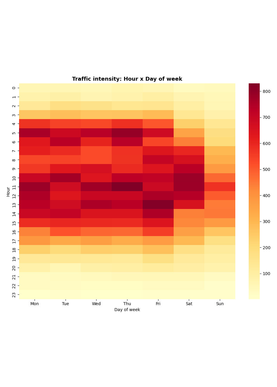
Traffic flow analysis provides local governments with insights that previously required costly and limited field measurements. In the case of Niepołomice, decisions regarding public transport, traffic management in the center, and the location of public services are based on actual resident travel patterns rather than assumptions.
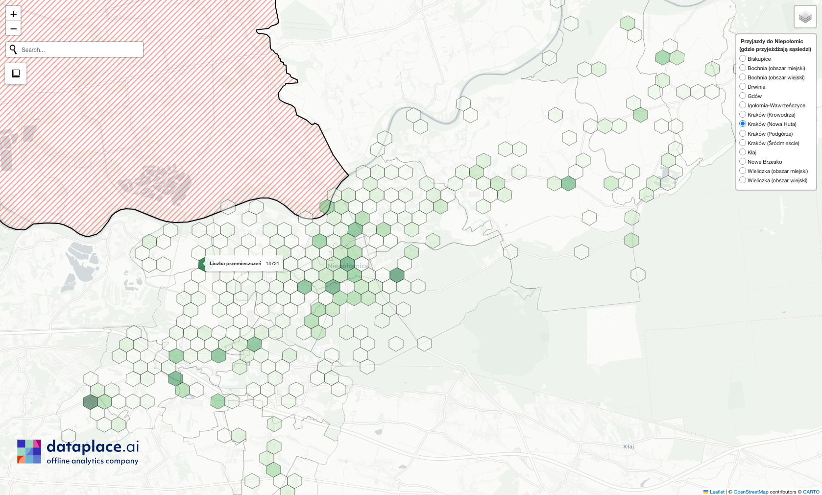
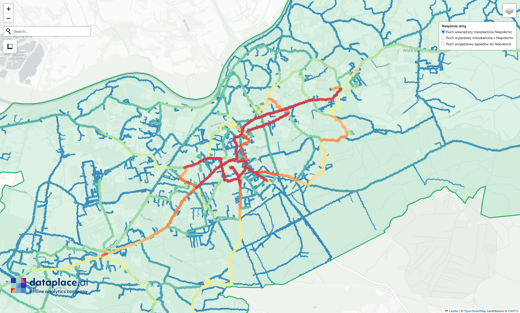
Access to data on the actual travel patterns of city residents is primarily applied in areas such as:
Public transport network planning. Comparing bus route layouts with travel directions to the city center reveals areas that generate regular traffic but are not covered by existing routes. Residents in these areas either use private cars or face inconvenient transfers that extend their total travel time.
Settlements with neighboring municipalities. Calculated traffic exchange with each municipality provides a basis for discussions on budget allocation for transport, ensuring that costs are shared proportionally based on whose residents use the services.
Traffic management in the city center. Understanding where people are traveling from to reach the city center allows for better planning of parking spaces and the location of transit hubs outside the core, where they can effectively intercept vehicle traffic.
School drop-offs. Data flows show which areas children are being driven from and where the distance to the nearest school is greater than in the rest of the municipality. This is a valuable insight when planning the location of a new school.
Public consultations and investment documentation. The same data can support two processes: as documentation of road load for funding applications, and as an explanation of the chosen variant during public consultations.